Gyldendal, Vendal, Kås - 8,4 km
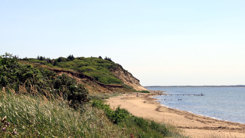
The hiking route is 8.4 km long and runs along the Limfjord and through protected nature with beautiful viewpoints from the top of old burial mounds.
On a walk along the beach, Kås Hall and with great views
The hiking route is 8.4 km long and runs along the Limfjord and through protected nature with beautiful viewpoints from the top of old burial mounds.
The starting point for this hiking route is Gyldendal.
From Gyldendal you walk approx. 850 m to the north along the beach. From here you take the stairs up the slope and continue through the summer house area, further along the path across the valley and over the stream.
Then the trip goes up to Vendal Høje, where there is a view over the fjord to Ejsingholm, Handbjerg, Struer, Venø, the windmills at Oddesund, the high slopes at Thyholm, Jegindø, Mors and Sallingsundbroen, the slopes at Knud Strand and Lihme.
From Vendalhøje you walk along an asphalt road to the north until the route turns down the gravel road past Kås Hall and further down towards the Limfjord.
From here you go south and come around Sønderhøje.
The rest of the trip continues along the beach back to Gyldendal.
The route is marked with red arrows.
NOTE: In wet weather, the path can be quite muddy in the river valley between the cottage area and Vendalhøje. The route passes a fold here, where grazing cattle also walk. Show consideration and keep your distance from the animals.
Parking: Parking space at Gyldendal Harbor (N 56 ° 34.884 ', E 8 ° 42.673')
L: 8.4 km
Marking: Red