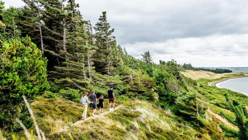
Around Venø – hiking along Venø’s coastline
‘Around Venø’ is a 20 km hiking route in a beautiful landscape on the island Venø, in the middle of the Limfjord. Take your time to study this unique nature and the everyday life of the people living on this small island, with is one of the 27 islands in Denmark.
Around Venø – hiking along Venø’s coastline
5 km north of Struer and 256 meters from the mainland lies Venø – the heart of the Limfjord. It was given this name, as the northern part of Venø is shaped like a heart when seen from the air.
It only takes 2½ minutes to sail to Venø with the ferry and this island will impress you with nature, cultural experiences, and its friendly islander.
Venø is a result from the ice ages’ glaciers and the stone ages’ burns. This is also the reason why Venø is part of the Unesco Geopark Vestjylland.
Take your time to study this unique nature and the everyday life of the people living on this small island, with is one of the 27 islands in Denmark.
Text and photo: Jan Bendix supplemented by Bo Immersen.
The route
Click on the link and you can see a brochure about the route (in Danish): Hiking around Venø
Facts about the route
The hiking route is 20 km. The northern part of the route, around Klovvig, is closed in the breeding season of the birds, from 1th of April to 15th July. In this period, the area is protected in order to protect the breeding birds. It is also on this part of the route, that you might have to take you hiking shoes off and walk a few meters in water. In the breeding season you can walk south of Klovvig, past Nørskov.
Depending on your tempo, the whole route will take between 5 and 8 hours.
It is possible to walk only parts of the route:
- The northern part, north of Klovvig, (accessible from 16th July to 30th Marts) is 11 km.
- The northern part, south of Klovvig is 9 km.
- The southern part is 11 km.
The coast varies in character and so does the ground. From sand beach to stone and swamped areas and in Klovvig you walk through a small stream. Depending on the wind, the water level might change on the beach. After a period with wind from the west, more water will enter the Limfjord and the beaches will become more narrow.
Starting points
- A. We recommend that you start your hike from Venø Harbor, in the middle of Venø. From here you can hike the route like an eight-number, with a northern and a southern route. This gives you the option to split the route in two parts.
Address: Havstokken 3b, 7600 Struer. - B. You can also park your car at the mainland by the ferry and take to whole route or just the southern part. It is possible to rent a bicycle at the ferry and you can take this to Venø Harbor, where you can start your hike.
Address: Kleppen 1, 7600 Struer.